A cadastral number is a unique identifier of a land plot in the State Land Cadastre of Ukraine. It is assigned to each plot during its registration and is retained throughout its existence. The cadastral number is mandatory for carrying out any operations with the land plot. In this article, we will explain what it looks like, why it is needed, how to obtain it and find it in the registry.
What Does a Cadastral Number Look Like
What is a cadastral number? It’s 19 digits, separated by colons in the following format: NNKKKKKKKKK:NN:NNN:NNNN. For example, 1234567890:12:345:6789, where:
- the first 10 digits (1234567890) – code of the administrative-territorial unit (region, district);
- the next 2 (12) – zone number;
- the next 3 (345) – quarter number;
- the last 4 (6789) – plot number within the quarter.
The cadastral number is unique for each territory, so it cannot be repeated throughout Ukraine.
Why a Cadastral Number is Needed
Having defined what a cadastral number of a land plot is, it’s also worth understanding what functions it performs. The cadastral number of a land plot is a mandatory condition for carrying out any operations with the plot, such as:
- buying and selling;
- gifting;
- inheritance;
- exchange;
- lease;
- pledge.
Without it, it’s impossible to register ownership or use rights for a land plot. This is stipulated by Article 202 of the Land Code of Ukraine.
How to Obtain a Cadastral Number
There are several ways to obtain a cadastral number:
- Contact a certified land surveyor to develop technical documentation for land management regarding the establishment (restoration) of plot boundaries in nature (on the ground). A list of specialists can be found on the State GeoCadastre website.
- Another way to obtain a cadastral number for a land plot is to submit the developed documentation to the territorial body of the State GeoCadastre for registration. This can be done through the Administrative Services Center (ASC) or online through the “E-step” e-service.
- Obtain an extract from the State Land Cadastre about registration with the assigned cadastral number. It is provided free of charge within 14 working days.
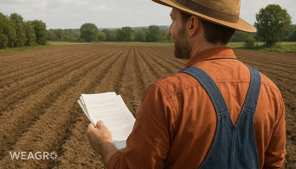
The online service WEAGRO simplifies the process of financing farmers during the sowing season. Farmers can purchase necessary material and technical resources with deferred payment without providing additional documents. A unique advantage of the service is the ability to execute an installment agreement “same day” – without any bureaucracy. This is especially relevant for land plot owners who already have cadastral numbers and aim to efficiently manage their financial resources.
Documents for Obtaining a Cadastral Number of a Land Plot
The main algorithm for how to make a cadastral number:
- submit an application for state registration (free at ASC);
- prepare technical documentation for land management regarding the establishment (restoration) of plot boundaries (developed by a land surveyor);
- provide an electronic document with land cadastral data (formed by a land surveyor);
- attach a document confirming payment for services (0.1 of the minimum subsistence level).
Additionally, documents certifying ownership or use rights for the area (contracts, certificates, acts, etc.) may be required.
How to Obtain a Cadastral Number for a Non-Privatized Land Plot
If you’re looking for a way to assign a cadastral number to a land plot, you need to:
- Apply to the local self-government body (village, settlement, city council) with a request for permission to develop a land management project for the allocation of the plot for ownership or use.
- Based on the permission, order the development of a land management project from a certified land surveyor.
- Coordinate the land management project with the territorial body of the State GeoCadastre and approve it by decision of the local self-government body.
- Register the territory in the State Land Cadastre and assign it a cadastral number.
- Register the ownership or use rights for the area in the State Register of Real Property Rights.
This procedure for obtaining a cadastral number for a land plot is more lengthy and complex than for privatized plots, so it’s better to use the services of an experienced land surveyor or lawyer.
Read also: How to find out the amount of land tax and how to pay it
What Determines the Price of a Cadastral Number
Assigning a number during registration is free; only the services for developing technical documentation are paid for. The cost of these services depends on:
- region and settlement;
- area and configuration of the plot;
- intended purpose and land category;
- number of adjacent land users;
- other individual factors.
On average, the development of technical documentation costs from 3,000 to 15,000 UAH, depending on the complexity of the work. A more accurate price can be found out from local land management organizations.
How to Verify a Cadastral Number
You can verify the assignment in several ways:
- On the Public Cadastral Map of Ukraine – a site where you can get a cadastral number very quickly. For this, you need to know the exact location of the plot.
- In the State Land Cadastre – through the “E-step” e-service or at the territorial body of the State GeoCadastre. You need to have a document certifying ownership rights.
- In the extract from the State Land Cadastre about the land plot – it contains all information about the plot. You can order an extract at the ASC or from a land surveyor.
There is another way to verify the cadastral number of a land plot – check the legal documents (contracts, acts, certificates, etc.) if they were issued after 2013.
Searching for a Land Plot by Cadastral Number
The easiest way to find out the cadastral number of a land plot is to refer to the State Land Cadastre. The process is carried out according to a hierarchical structure:
- First, the region and district are determined by the code of the administrative-territorial unit.
- Then within the district, the search area is narrowed down.
- Next, the required plot is found by the quarter number.
- Finally, the last digits indicate the specific area within the quarter.
Let’s look in more detail at ways to find land by cadastral number.
How to Find out the Cadastral Number of a Land Plot
The cadastral number for a share and other types of plots is in documents and acts of transfer, sale, etc., but if the contracts are old or missing, there are other ways:
- Order an Extract from the State Land Cadastre about the land plot from the territorial body of the State GeoCadastre or ASC. It will indicate the cadastral number (provided that the plot is registered in the cadastre).
- Find the land plot on the Public Cadastral Map of Ukraine and look at its cadastral number (see below). But this is not always possible if the exact location of the plot is unknown.
- Apply to the local self-government body (village, settlement, city council) with a request for the cadastral number of the land plot, providing documents confirming rights to the plot.
In exceptional cases, when there is no information about the cadastral number, it can only be determined by conducting new geodetic and land management works to produce technical documentation and register the plot in the cadastre.
How to Find the Cadastral Number of a Land Plot by Surname
Unfortunately, it is not possible to find the cadastral number of a land plot by the owner’s surname. The State Land Cadastre and the State Register of Real Property Rights do not provide such a search due to personal data protection.
However, if other parameters of the land plot are known (address, area, intended purpose, etc.), then theoretically it can be found on the Public Cadastral Map and the cadastral number can be discovered. Although in practice this is unlikely.
Another option for finding land by cadastral number is to send a written request to the land plot owner asking for information, justifying the grounds for obtaining this information according to the law.
How to Find a Land Plot by Cadastral Number
Knowing the cadastral number, you can easily find the land plot on the ground or on the cadastral map. There are several ways to do this:
- Enter the cadastral number in the search field on the Public Cadastral Map of Ukraine. It will immediately show the sought plot with its boundaries and basic information.
- Find the land plot in the State Land Cadastre through the “E-step” e-service of the State GeoCadastre. You need to have an electronic signature and log into your personal account.
- Determine the approximate location of the land plot by the administrative unit code, cadastral zone and quarter numbers. Then find it on the ground using a GPS navigator or other geodetic instruments.
You can also order a Copy from the cadastral map (plan) with marked boundaries and cadastral number of the land plot from the ASC or a certified land surveyor.
How to Determine the Boundaries of a Land Plot by Cadastral Number
To determine the boundaries of a land plot by cadastral number, you can:
- View the Public Cadastral Map of Ukraine. By entering the cadastral number in the search, you can see the external boundaries of the plot on the map with high accuracy.
- Order an Extract from the State Land Cadastre about the land plot, which contains the coordinates of the turning points of the plot boundaries. These coordinates can be used to establish the boundaries on the ground.
- Find the boundaries in the legal and land management documents for the plot (contracts, acts, plans, cadastral plans, etc.). They have a textual description of the boundaries and graphic materials.
- Contact a certified land surveyor or geodesist to perform a geodetic survey and establish the plot boundaries on the ground based on available documents and field measurements.
But the most accurate and reliable way to determine the boundaries of a land plot is by conducting instrumental land management – establishing the boundaries on the ground and fixing them with special boundary markers. These works are performed by specialists based on technical documentation for land management.
Read also: Remote sensing of the Earth: what it is, types and prospects
How to Find a Land Plot without a Cadastral Number
The main algorithm for finding a land plot without a cadastral number:
- Find any available documents for the land plot (acts, decisions, contracts, plans, etc.).
- Determine the exact location of the plot by address, landmarks, or old plans.
- Determine the approximate boundaries of the plot according to documents and actual use on the ground.
- Find and interview adjacent land users regarding common boundaries and possible disputes.
- Order from a land management organization the production of technical documentation for land management regarding the establishment (restoration) of land plot boundaries in nature (on the ground). During these works, the plot will be found, measured, and plotted on the cadastral map.
- Register the land plot in the State Land Cadastre and assign it a cadastral number.
After registration in the cadastre, the plot can be easily found by its cadastral number. And until this is done, you will have to use available documents and search for the plot on the ground.
Conclusion
A cadastral number is a unique code of a land plot in the State Land Cadastre of Ukraine. It is a mandatory condition for registering land rights and carrying out any operations with it. Knowing the cadastral number, you can quickly find the plot on the map and on the ground, as well as accurately determine its boundaries.
To obtain a cadastral number, you need to produce technical documentation for the land plot and register it with the State GeoCadastre. If the cadastral number is unknown, you can find the plot using legal documents and actual location. But for full disposal of the plot, it is necessary to register it in the cadastre and obtain the corresponding number.
WEAGRO opens new opportunities for farmers who own land plots with cadastral numbers. The service allows farmers to buy goods with deferred payment without excessive documentation and collateral. This allows sellers to increase sales volumes by an average of 30% within agreements with existing clients.