Earth remote sensing is one of the most important elements of precision agriculture. This cutting-edge technology involves scanning the planet’s surface with a resolution ranging from several meters to several centimeters. It is widely used in agriculture to automate production processes, increase yields, and reduce the negative environmental impact on crops. Today, we will explore how Earth remote sensing (ERS) works, which types of technology have become the most widespread, how Ukrainian farmers use this methodology, and what prospects exist for its development.
What is Earth Remote Sensing
Earth remote sensing is the scanning of the planet’s surface using aviation and space platforms. They collect information about relief, light reflection, humidity, color spectrum, temperature, and other important characteristics. This allows for the creation of maps that are primarily used in agriculture. However, such images are also useful in other fields – urban planning, mining, forestry, search and rescue operations, military affairs, and more.
Today, Earth remote sensing is mostly carried out using artificial satellites – spacecraft operating in various orbits. Even when using free EGNOS technology, users can obtain maps with a resolution of up to 2-3 meters. When using hardware methods of correction and adjustment such as eDif and RTK, the accuracy of map construction increases to 15-30 and 8-10 cm respectively. Aviation equipment is used for urgent data updates or map refinement.
Types of Earth Remote Sensing
The devices installed on space platforms are divided into two types – active and passive. Active Earth remote sensing involves the use of certain radiation sources – radio wave, light, infrared, laser, etc. Passive sensing uses only reflected signals – this makes it sensitive to the time of day and the position of celestial bodies, but simplifies equipment design and reduces the cost of obtaining information. Let’s take a closer look at the specific methodologies used in ERS.
Microwave Scanning
Radio waves with lengths from 1 cm to 1 m freely pass through the Earth’s atmosphere, without reflecting from clouds or scattering due to poor weather conditions. In agriculture, passive microwave Earth remote sensing techniques are predominantly used. They allow for determining soil and air moisture levels, ozone concentration in the atmosphere, and surface temperature.
Data from such studies are used on the precision agriculture platform OneSoil Yield. It was developed by the Swiss company OneSoil and is supported in Ukraine by the FRENDT team. This software solution builds maps for differentiated sowing and fertilizer application with subsequent analysis of the obtained yield map results.
Active microwave scanning is used less frequently. It allows for determining object contours, building maps of physical relief and object locations. It is usually used to refine obtained data and create multi-layered agricultural maps.
Hyperspectral Scanning
Analysis of visible light reflected from the planet’s surface. Hyperspectral sensors, unlike ordinary spectrometers, can identify hundreds or even thousands of light wave ranges. This helps distinguish shades of green – young and mature leaves, healthy and diseased plants, etc. Similar technologies are used in FRENDT’s agro-scouting automation systems. They allow obtaining data on field conditions in mobile applications to choose optimal approaches to farming.
Passive hyperspectral scanning allows obtaining very important Earth remote sensing data. By working in the near and mid-infrared radiation ranges, sensors can analyze the planet’s surface heating level and signal about nearby fires. This helps make important decisions in a timely manner, such as increasing watering volumes or calling emergency services.
Sonar Scanning
Ultrasonic sensors were first created to study the relief of the sea floor. In Earth remote sensing, they are used to scan the vertical “column” of the atmosphere. By evaluating the return speed of signals and their degree of dispersion, the devices can draw conclusions about the current weather conditions and the degree of air saturation with moisture.
By combining data from echosounders of several satellites and studying this information dynamically, it’s possible to make fairly accurate short-term weather forecasts. This also allows optimizing irrigation costs, protecting plants from hail, downpours, and hurricanes in a timely manner, as well as choosing the ideal moment for applying agrochemicals or harvesting.
Earth Remote Sensing in Ukraine
The first experiments in remote sensing of the Earth from space began in the Soviet era. In the 1970s, an entire series of Kosmos satellites, created by Ukrainian scientists from Yuzhnoye Design Bureau, entered near-Earth orbit. However, these devices were primarily for military purposes, and therefore the scope of using their data in agriculture was limited to several highly specialized experiments.
The idea of using remote sensing data was revisited in the early 2000s, when maps built using American Landsat satellites became publicly available. This is the longest-running and most informative remote sensing program, which continues to operate today and includes plans to launch new spacecraft in the future.
In 2004, Ukraine launched its own Sich-1M satellite, which, among other tasks, performed remote sensing of the Earth. Unfortunately, it failed in 2006, although some of its data is still used in scientific and agricultural fields.
Today, Ukrainian agriculture receives data from such groups of space satellites equipped with spectrometers, radiometers, echosounders, laser altimeters, and other research instruments:
- RADARSAT Constellation;
- TerraSAR-X;
- Sentinel and others.
Various cloud platforms are used to access the information. A prime example is the EOS Data Analytics service, which offers a range of specialized solutions for farmers. Its users can obtain crop condition maps and data on the planet’s surface conditions, including temperature, humidity, atmospheric front movements, etc. The open API allows data to be transferred to custom software, including desktop and mobile applications. This enables obtaining an individual solution created specifically for the needs of a particular enterprise.
Obtaining remote sensing data is one of the most important and widespread high-tech services in Ukrainian agriculture. It quickly pays for itself through comprehensive optimization of enterprise operations. Nevertheless, farmers may face challenges in financing it. Fortunately, these can be easily overcome using the agricultural installment service WEAGRO. Among our partners are providers of ready-made solutions for precision farming. They offer applications and services that use remote sensing data with regular updates and refinements. You can access them now and pay for the use of important information later, including after harvest.
Read also: What Is Installment Payment: Difference Between Credit and Installment
In 2013, the conceptual foundations of the Law “On State Regulation in the Field of Remote Sensing of the Earth” were adopted in Ukraine. However, this document never reached consideration by the Verkhovna Rada. Instead, its draft was processed by the Cabinet of Ministers in 2015. It became the basis for a new bill proposed by the State Space Agency of Ukraine in 2019. Currently, this document has also not been adopted—the final regulation of remote sensing use in agriculture and other sectors is planned to be addressed after the end of the full-scale war.
Use of Earth Remote Sensing Data in the Agricultural Sector
The most common examples of using Earth remote sensing data:
- Comprehensive monitoring of agricultural lands – assessment of plant conditions with intervals from several hours to 1-3 days.
- Tracking productivity of certain areas and crops – analysis of the planet’s surface characteristics allows predicting yield levels.
- Early detection of major risks – deterioration of weather conditions, fires, plant disease infestations, pest proliferation, etc.
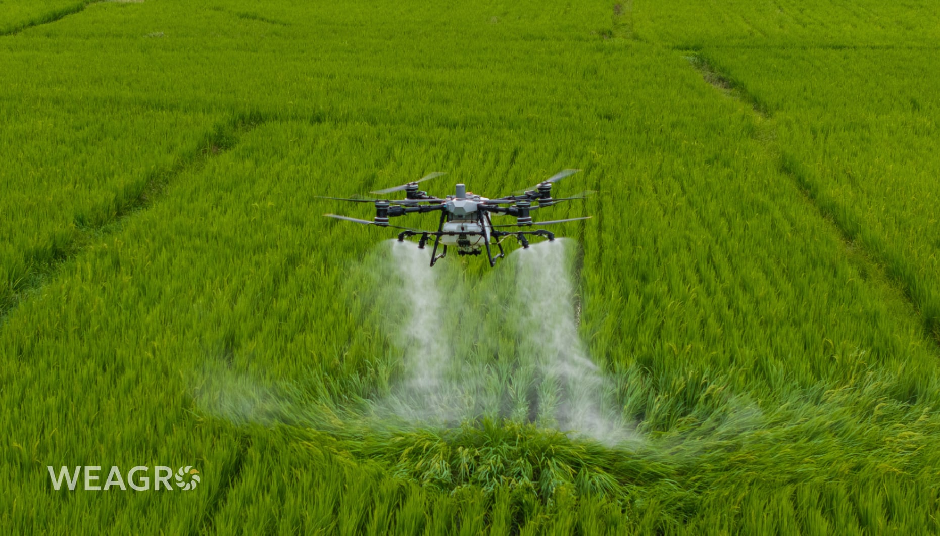
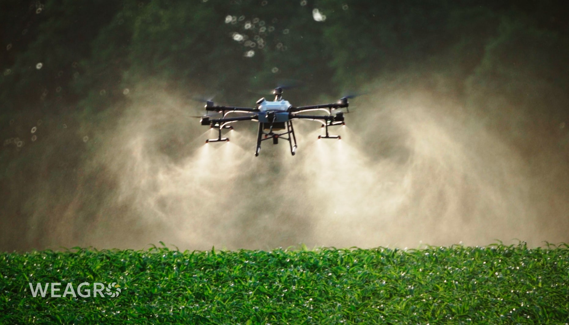
- Cost reduction – variable rate application (VRA) maps allow optimizing the use of seeds, water, fertilizers, and pesticides depending on the current condition of plants and soils.
- Crop inventory – Earth remote sensing can be used for initial development of territory maps and digitization of obtained data.
- Monitoring of agricultural work – satellite observation allows tracking processes of sowing, harvesting, irrigation, etc. You can compare them with plans to evaluate enterprise productivity.
- Weather forecasting – space observations are much more accurate than traditional methods. Recently, their error margin has significantly decreased due to data processing using artificial intelligence.
All this information can be available for your farm or agricultural enterprise. The agro installment service WEAGRO is a convenient solution for subscribing to paid satellite observation and Earth remote sensing services. The deferred payment applies to both equipment and specialized services. You can choose a provider from among our partners or find your own solution by suggesting that the developer join the WEAGRO online service.
Prospects for Using Earth Remote Sensing Data in Ukraine
The field of remote sensing is constantly evolving. According to Olha Tomchenko, Junior Research Fellow at the Scientific Center for Aerospace Research of the Earth at the Institute of Geological Sciences of the National Academy of Sciences of Ukraine, five years ago 20 satellites studied the territory of our country, and today their number has increased to 300. Accordingly, the capabilities of equipment that analyzes radiation in new spectra and with higher resolution have also expanded.
Therefore, in the near future, Earth remote sensing can be applied to solve the following tasks in the field of agriculture:
- finding a connection between water body blooms and the yield of coastal areas;
- detecting illegal construction on agricultural lands;
- establishing urban development boundaries in traditionally agricultural regions;
- predicting fires in forests and peatlands.
Another direction for technology development could be the automation and robotization of agricultural machinery. Receiving data from Earth remote sensing services, machines will independently choose the necessary functions and settings. This will allow processing each meter or even centimeter of soil in an optimal way. The only tasks for humans in such a situation would be control and choosing the right configuration of equipment.
Read also: How to Determine Soil Acidity and How to Lower or Increase It
Conclusions
Earth remote sensing is the key to precision agriculture. Satellite monitoring allows choosing optimal agricultural techniques and monitoring the current state of lands. In the future, its methods, combined with artificial intelligence, can be used for automation and robotization of machines.